
일반공지
‘Bias Correction of Gridded Climate Data based on Satellite Imagery’ is selected as one of the best research paper by Korean Society of Civil Engineers
- 작성자
- Admin
- 작성일
- 2018.12.21
- 조회
- 598
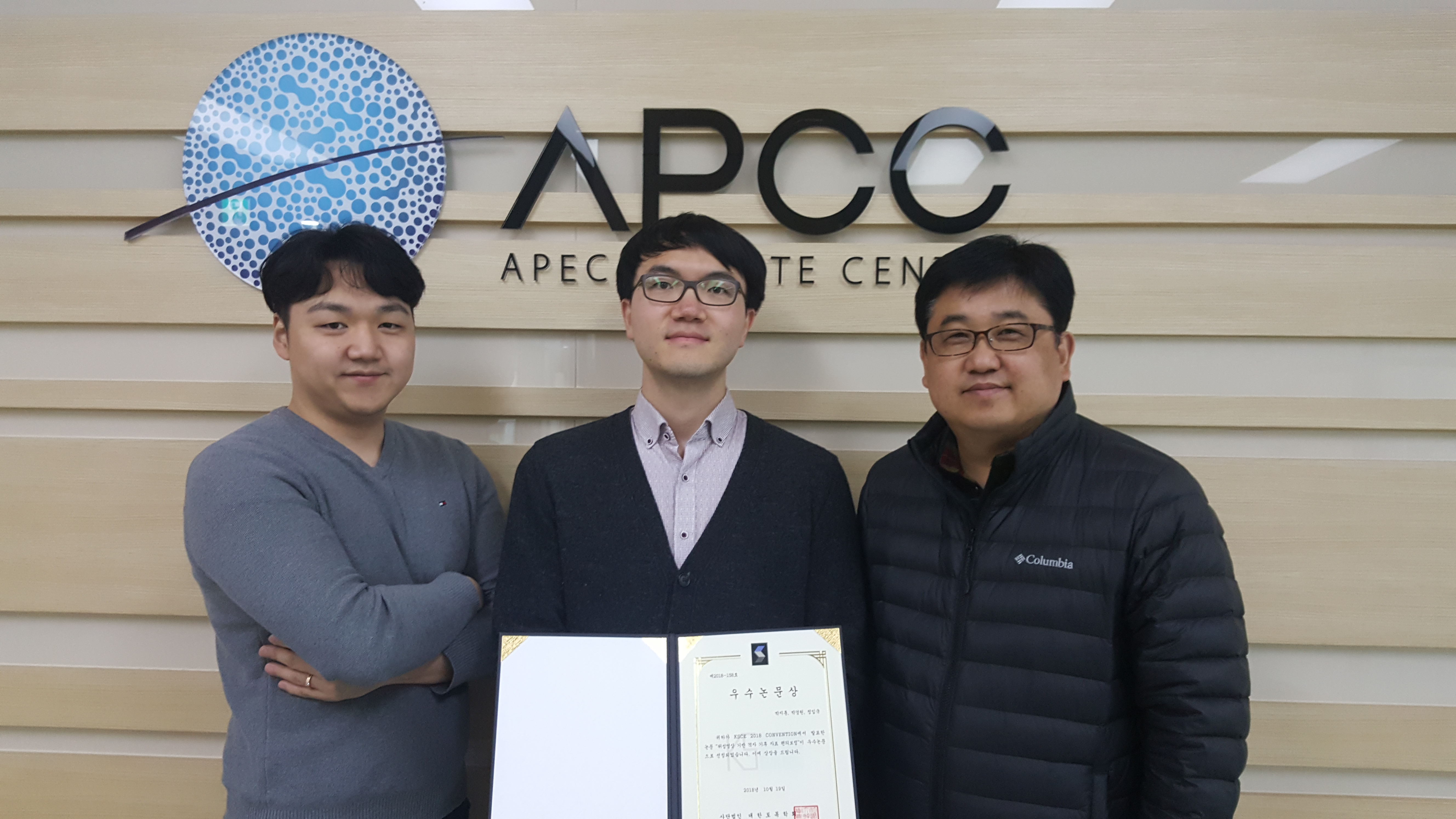
The thesis, ‘bias Correction of Gridded Climate Data based on Satellite Imagery’ which is written by Park Ji-hoon, Park Kyung-won and Jung Im-gook who are research fellows in the APEC Climate Center, is chosen as the best research paper at the 2018 Korean Society of Civil Engineers (KSCE) convention on October 19, 2018.
To preemptively respond to disasters caused by climate change, countermeasures must be established in varied application sectors. It needs to gather the previous and current climate monitoring data and perform the pre-processing with reliable data in the fields of sanitation, foresty, ecosystem, agriculture, water management and marine.
In the Asia-pacific region, most of the climate monitoring systems are not systematically built up. Considering that, satellite image-based climate data can be replacing the climate monitoring systems ,and needs for grid-based climatic data are gradually increasing in relevant fields such as agriculture and water resources especially. As a solution of this problem, satellite image-based data is calibrated by existing observation data from some points, so that gridded climate data can be provided.
The three research fellows, through research on ‘bias Correction of Gridded Climate Data based on Satellite Imagery’, have built a database with rainfall observation satellite data provided by the National Oceanic and Atmospheric Administration (NOAA) and National Aeronautics and Space Administration (NASA). Climate variables for application sectors such as agriculture and water resources, the spatial resolution(25km and 10km grid) and temporal resolution(hour, day and month) were analyzed.
To enhance the convenience of climate information users, a database was constructed by performing transformation process of the raw satellite data ,and collecting climate variables in grid units. Furthermore, calibrating data based on satellite imagery with observed climate information was performed in order to improve the reliability of climate data.